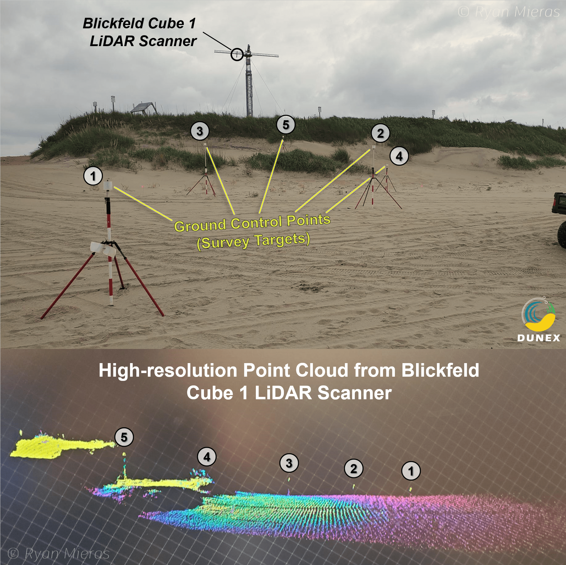
The goal is to develop affordable and scalable remote sensing platforms to measure storm surge impact on coastal areas. The great flexibility in the configuration of the scan pattern and mounting of the Blickfeld sensors is a big advantage in achieving this goal.
Dr. Ryan Mieras
Assistant Professor of Coastal Engineering at University of North Carolina Wilmington