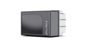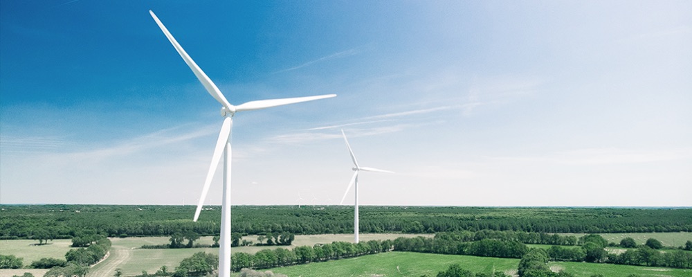
The inspection of wind turbines can be very labor-intensive and therefore costly. Drones have allowed significantly reduced efforts for a safe and reliable inspection of the object’s structure and enabled remote maintenance by taking pictures of the turbines, which serve as the basis for a state-of-the-art safety inspection. LiDAR sensors support the autonomous flight and positioning of the drone in front of the turbine and thereby reducing the cost and the risk of inspection.

Inspection and Predictive Maintenance
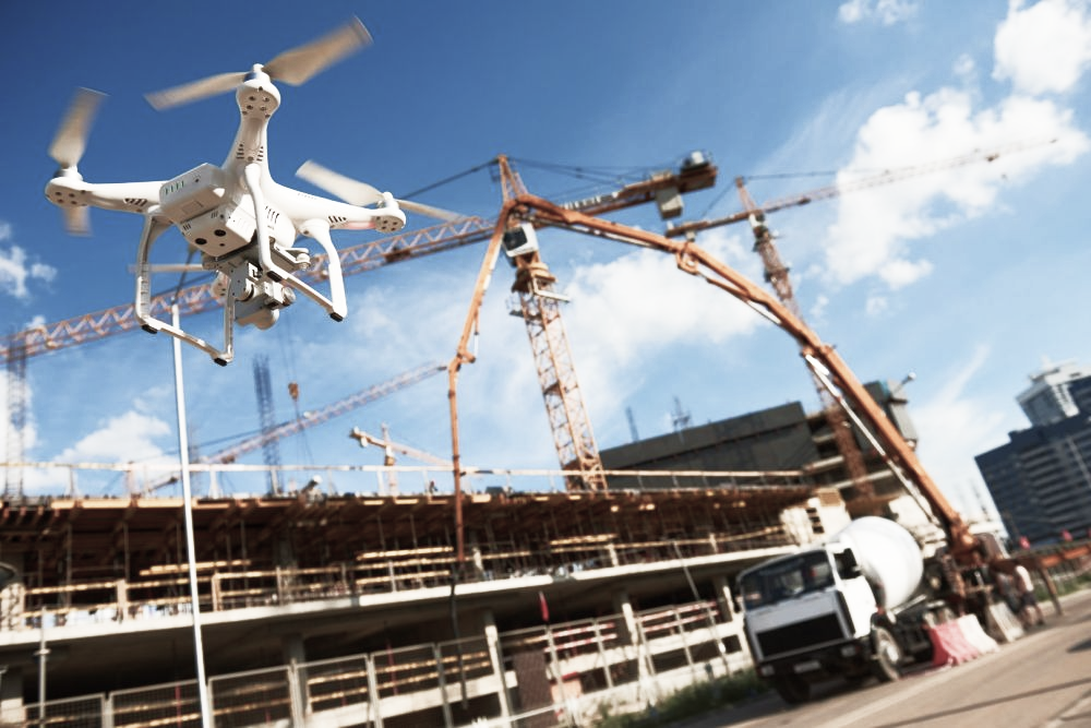
Physical assets, such as machinery or infrastructure, require regular inspections and maintenance. By using a drone, businesses can detect potential issues and assess the condition of equipment out of flight. The insights gained are used to optimize maintenance schedules, prevent breakdowns, and increase the lifespan of valuable assets, resulting in reduced downtime, increased productivity, and cost savings.
Autonomous Flight
By scanning the environment, an autonomous drone with LiDAR can detect obstacles and potential collisions reliably, allowing them to adjust its flight path to avoid accidents. This information can be used to optimize flight paths, avoid collisions, and increase the efficiency and safety of operations.
3D Mapping
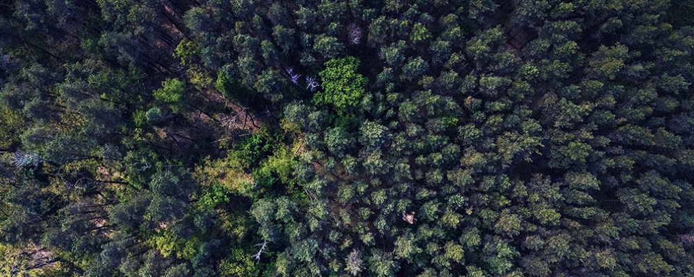
Mapping the terrain by overflying it with a LiDAR-equipped drone enables businesses to create 3D models that provide accurate, very detailed representations of physical spaces. The data obtained can be leveraged to enhance planning and safety by providing a better understanding of physical spaces or monitoring crops, woods, or other vegetation.