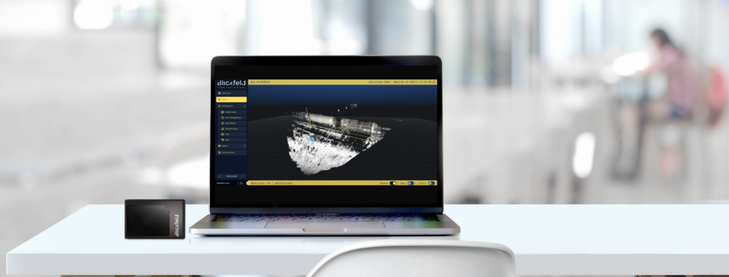
We are happy to announce the AEGIS software release 2.0 with groundbreaking software updates on the Blickfeld Percept software, running on our smart LiDAR sensors.
Key improvements released in AEGIS
Object Detection and Object-based Security Zones
The on-device software can now automatically detect objects and classify them by size across varying distances. This advancement enables the configuration of security zones to trigger based on the size of detected objects, effectively reducing false alarms by filtering out irrelevant items.
Updated WebGUI Viewer
The new viewer features advanced object visualization, map integration, full-screen mode and more. Furthermore, zones and associated labels are now displayed in a new, improved design.
Blickfeld User Management
User Management has been moved out of BETA and is now recommended for all sensors to improve security. This functionality enables access to sensors exclusively through login credentials and facilitates the assignment of distinct user rights, granting varying levels of access to different features based on permission levels.
Updated Recording Feature
The enhanced recording functionality now supports additional metadata and raw point cloud frames.
Improved Sensor Setup
The improved error handling, distinct color representation for different sensors, and support for application keys to access sensors with active user management simplify setup and maintenance.
Please note that with the focus on security enhancements, downgrading to a previous release after updating is not supported. Users are encouraged to review the changes before installation to ensure a seamless transition.
Notable breaking changes compared to the software version before:
- Processing: Security zones no longer operate concurrently with volume zones. In a future release, we will introduce a new occupancy zone to replace the functionality of security zones outside of security projects. This new zone will seamlessly complement volume zones.
- Processing: Security zones now only support a single sensor. In cases where multiple sensors are configured, only the data from the first sensor will be utilized for processing.
- WebGUI: The previous viewer has been relocated to configuration / zone management. The revamped viewer is now read-only and solely intended for visualization purposes.
For detailed information on all updates included in the AEGIS Release, users can refer to the firmware release notes available at https://github.com/Blickfeld/blickfeld-qb2/releases/tag/v2.0.


