Smart Traffic and Infrastructure with 3D LiDAR Technology
Traffic & Infrastructure


LiDAR technology plays a central role in modern traffic and infrastructure management and is a key building block for smart city concepts. By using laser pulses to measure distances, it creates an accurate three-dimensional representation of the environment. In traffic applications, it delivers precise real-time data on vehicle movements, optimizes traffic flow control, and enables reliable vehicle measurement for infrastructure protection. Thanks to its high accuracy, the technology forms the foundation for data-driven, safe, and future-ready traffic systems.
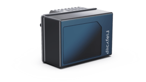
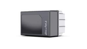
Blickfeld offers smart 3D LiDAR sensors designed for precise detection of vehicle positions, dimensions, and movements, providing real-time traffic insights. Blickfeld Qb2 with integrated traffic software delivers high-resolution 3D point clouds and processes this data directly into actionable traffic information. With this combination of powerful hardware and innovative traffic software, Qb2 provides a compact solution for highway traffic monitoring, infrastructure protection, intelligent traffic light control in smart cities, and parking management.
3D LiDAR is the next generation of intelligent traffic monitoring
Precise vehicle data for smart traffic decisions
Qb2 delivers high-resolution 3D LiDAR data across multiple lanes. Its on-device traffic software provides precise information on vehicle position, size, and movement.
Modern replacement for inductive loops
Qb2 integrates seamlessly into existing infrastructure without the need for modifications, maintenance, or complex installation. Sensor data is integrated into traffic management systems via standardized interfaces.
Privacy-compliant traffic insights
LiDAR data is inherently fully anonymous and does not capture license plates. This allows Qb2 to deliver precise real-time traffic insights in public spaces without compromising data protection regulations.
Robust sensing without maintenance
Blickfeld’s IP67-rated housing reliably protects the sensor against dust and rain. The solid-state design with no moving parts further ensures long-term operation without complex maintenance requirements.
Application areas
Traffic monitoring with Blickfeld LiDAR supports a wide range of traffic applications.

- Vehicle detection with speed measurement and classification
- Precise vehicle measurement (height, width and length)
- Infrastructure protection (e.g. bridges, tunnels)
- Wrong-way driver detection
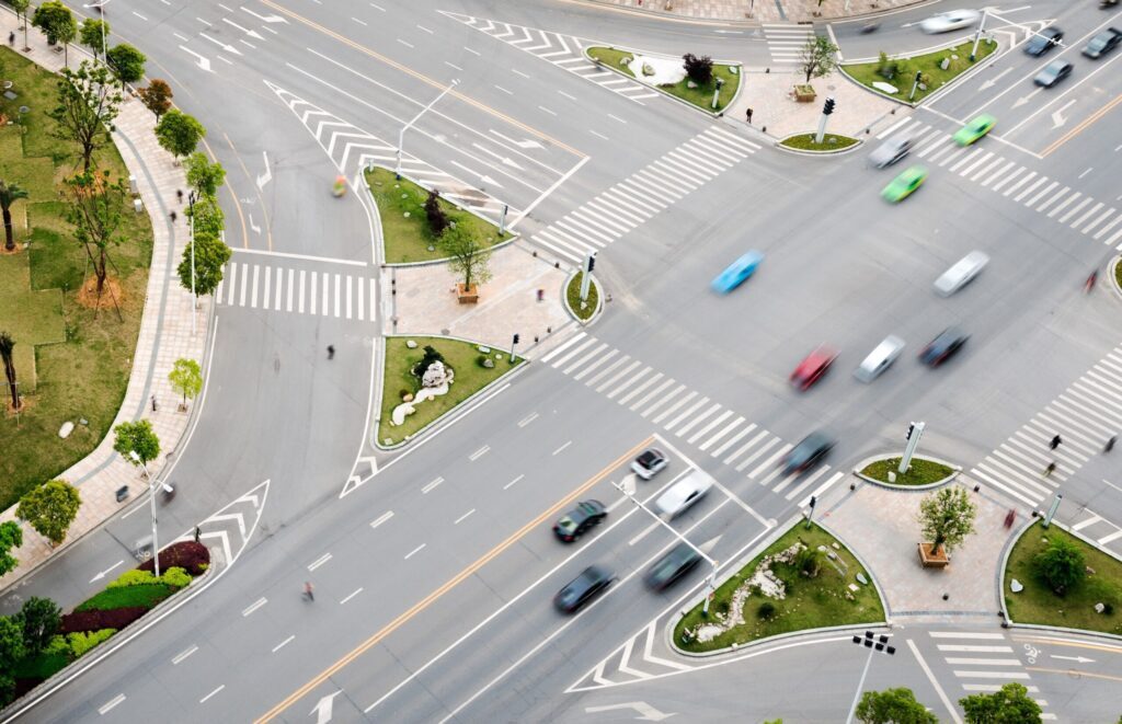
- Smart light control
- Vehicle counting
- Red light violation detection
- Traffic jam and queue detection
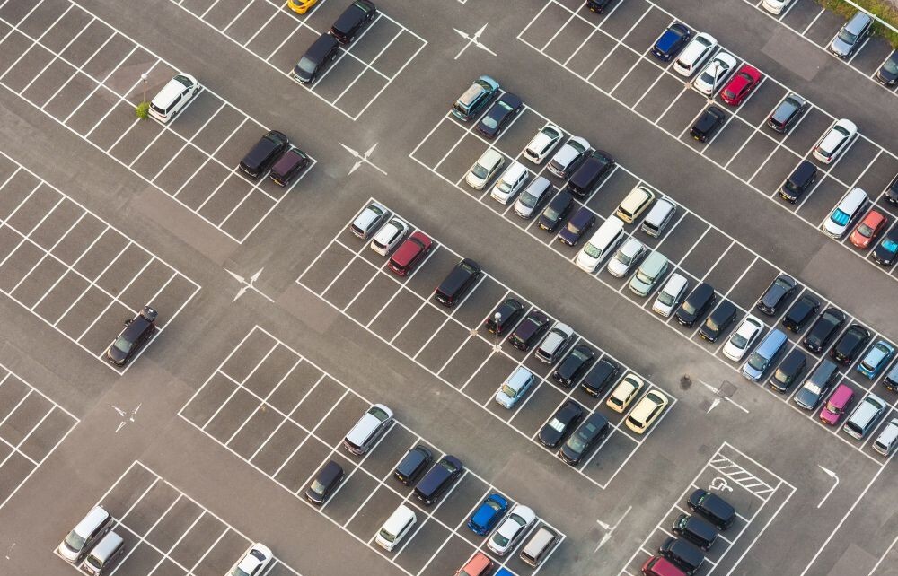
- Parking management
- Parking space detection (free and occupied parking spaces)
- Monitoring of emergency bays and special parking areas
Advanced traffic software
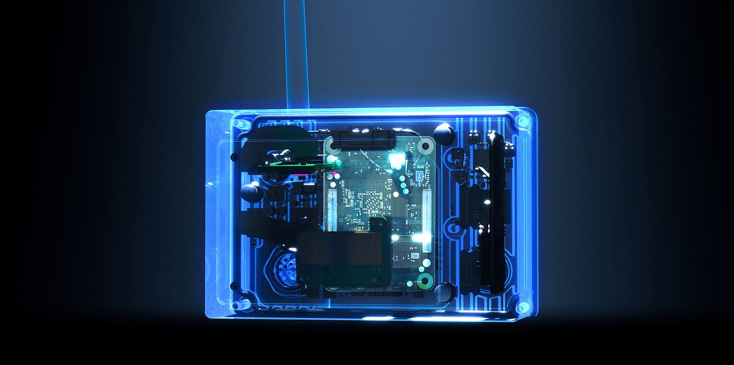
The LiDAR processes traffic data directly within the sensor. No additional external computing units are required.
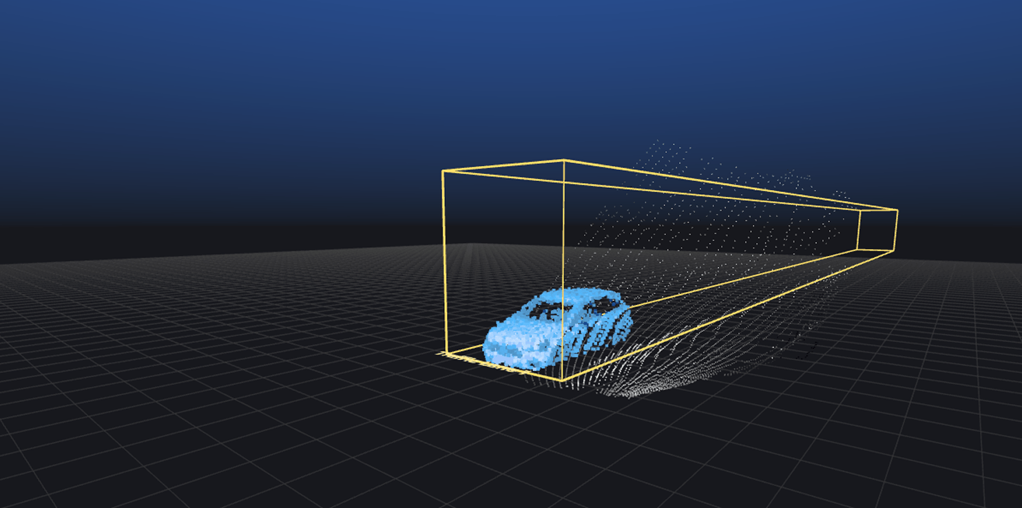
Specialized algorithms accurately detect passing vehicles within defined traffic zones, capturing position, dimensions, and speed for vehicle classification.
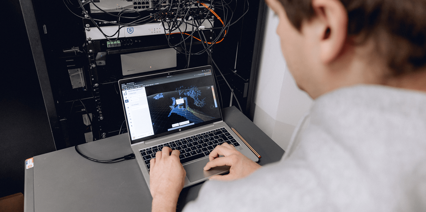
Data output can be individually configured and integrated into existing systems via standardized interfaces and open APIs.
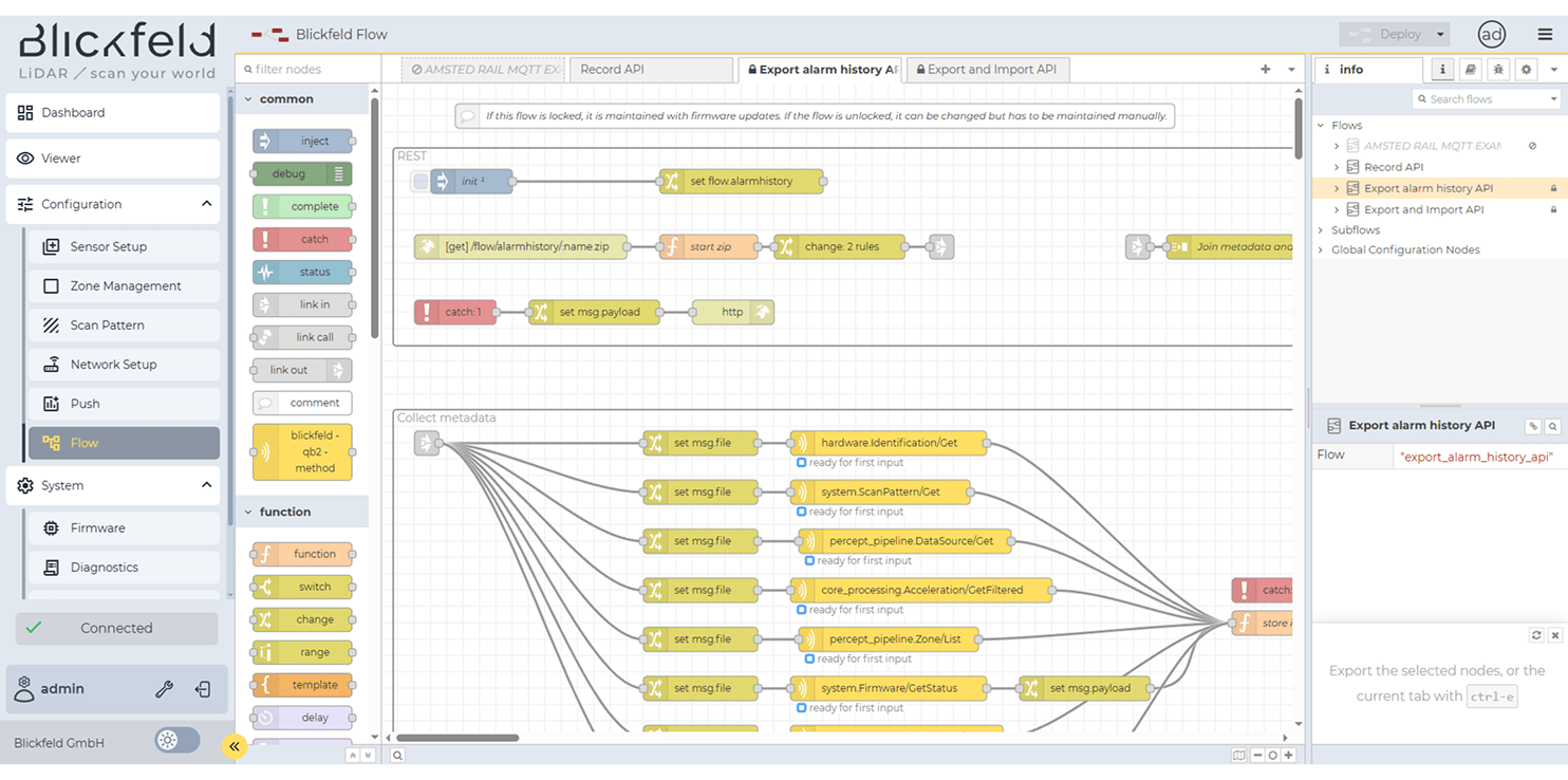
The modular design allows the sensor solution to be adapted to different traffic requirements and deployment scenarios.
Smart traffic monitoring on highways
Blickfeld’s 3D LiDAR sensors generate high-density point clouds, while traffic algorithms process the data directly on the device. Using defined traffic zones, accurate in-lane detection is ensured, including vehicle classification and speed measurement.
Case Studies
LiDAR technology is used in various applications every day. Find a selection of customers who use Blickfeld technology to make their business safer, smarter and more efficient.
Get in Touch
Contact Form
Contact our Sales Team

Dirk Rathsack
VP Business Development & Sales
Region: Rest of World
+ 49 174 230 3357
Schedule a meeting
sales@blickfeld.com

Patrick Pylypuik
President, Blickfeld North America Inc.
Region: North America
+1 (855) 335 4327
More resources
Frequently Asked Questions
The Qb2 LiDAR sensor has a scanning angle of 90° x 50°
The LiDAR sensor supports integration with existing infrastructure, such as traffic management systems and cameras, using protocols like ONVIF, RTSP, and MQTT.
The Blickfeld LiDAR sensor offers on-device software with integrated web interfaces for real-time data processing. It enables interactive 3D point cloud visualization, object detection, and movement tracking, including velocity information. The sensor also supports the configuration of virtual zones that can generate alerts or states based on defined thresholds.
Upcoming Events
