
Why technology in agriculture is a necessity
The world population is growing unlike ever before. In 2021, 7.9 billion people are inhabiting the world, compared with 4.45 billion in 1980 and just 2.53 billion in 1950. Of course, that presents the ever-increasing crisis of lack of agricultural land and poses the threat of food scarcity. This beckons the need for smart farming and efficient cultural practices. This is where technology in agriculture comes into play, with the integration of LiDAR sensor being one example.
What role do innovative technologies like LiDAR play in agriculture?
Agriculture is probably one of the oldest and most traditional trades. Nevertheless, like every other industry, it also needs to keep up with the advances of technologies and reap the benefits from the opportunities offered by increasing automation and digitisation. This includes the automation of the traditional practices in agriculture.
Autonomous Farming Machines
Agricultural vehicles can take a leaf from the automotive industry’s book and use similar sensors and technologies for operating autonomously. Here, they also have the added advantage of having no road users and considerably lower number of obstacles when compared to a typical road.
The remote control of vehicles frees the farmers from the need to actively control the agricultural vehicle, such as a tractor, or even be on site so they can focus on other tasks while the vehicle autonomously ploughs, fertilizes, or sows the field – if necessary even at night. Autonomous navigation is enabled, among other things, through a sensor suite, which equips the vehicle for environmental detection. This suite usually consists of cameras as well as LiDAR and Radar sensors.
Using agricultural land efficiently with precision agriculture
Another area of application for new technology in agriculture is precision farming. The aim is to reduce expenditure and significantly increase yields. In precision agriculture, the cultivation of land, such as sowing and fertilising, is optimally adapted to the conditions by means of precise recording and evaluation of parameters such as soil condition or yield.
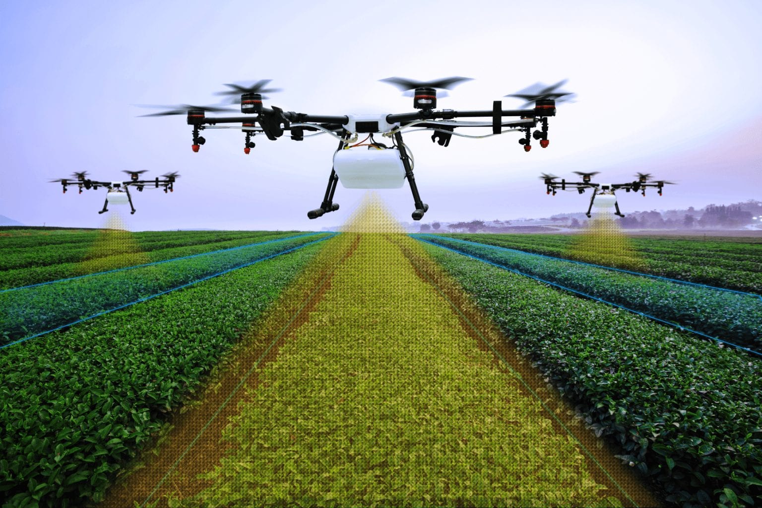
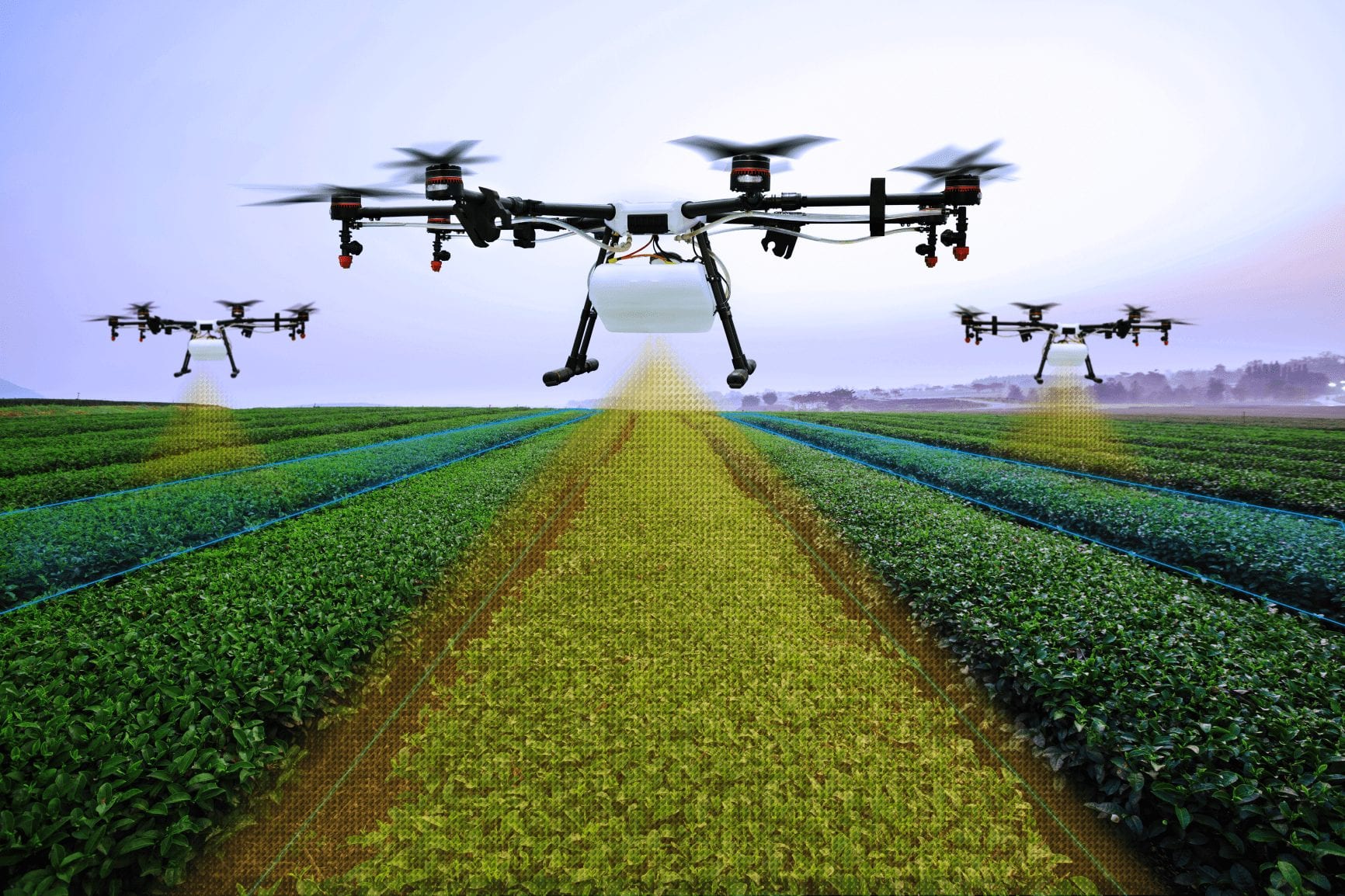
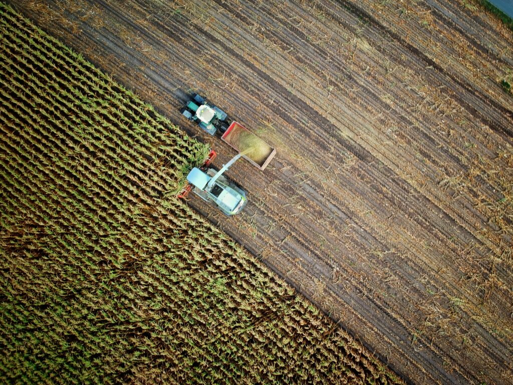
But how are these parameters recorded? This is where sensors are required, including LiDAR sensors. An example: LiDARs attached to tractors are able to precisely determine the height, volume, and mass of a maize field and thus also the expected yield. Another example is the automated collection of hay bales. Here the LiDAR detects the bales in front of the vehicle, which can automatically be collected and sorted.
Monitoring feeding areas is also a possible application: The sensor measures the fill level so that feed can be refilled at the right time.
LiDAR for efficient management of farmland and resources
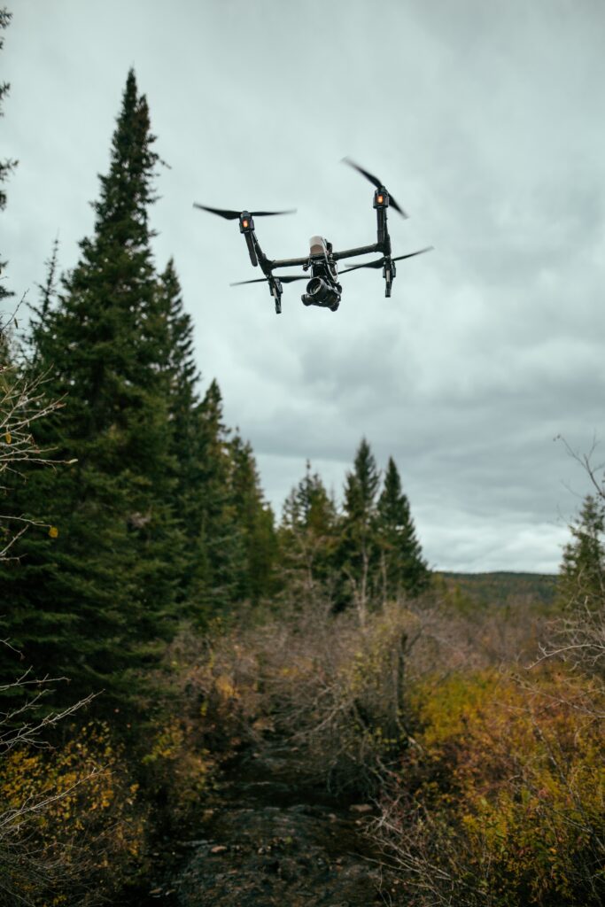
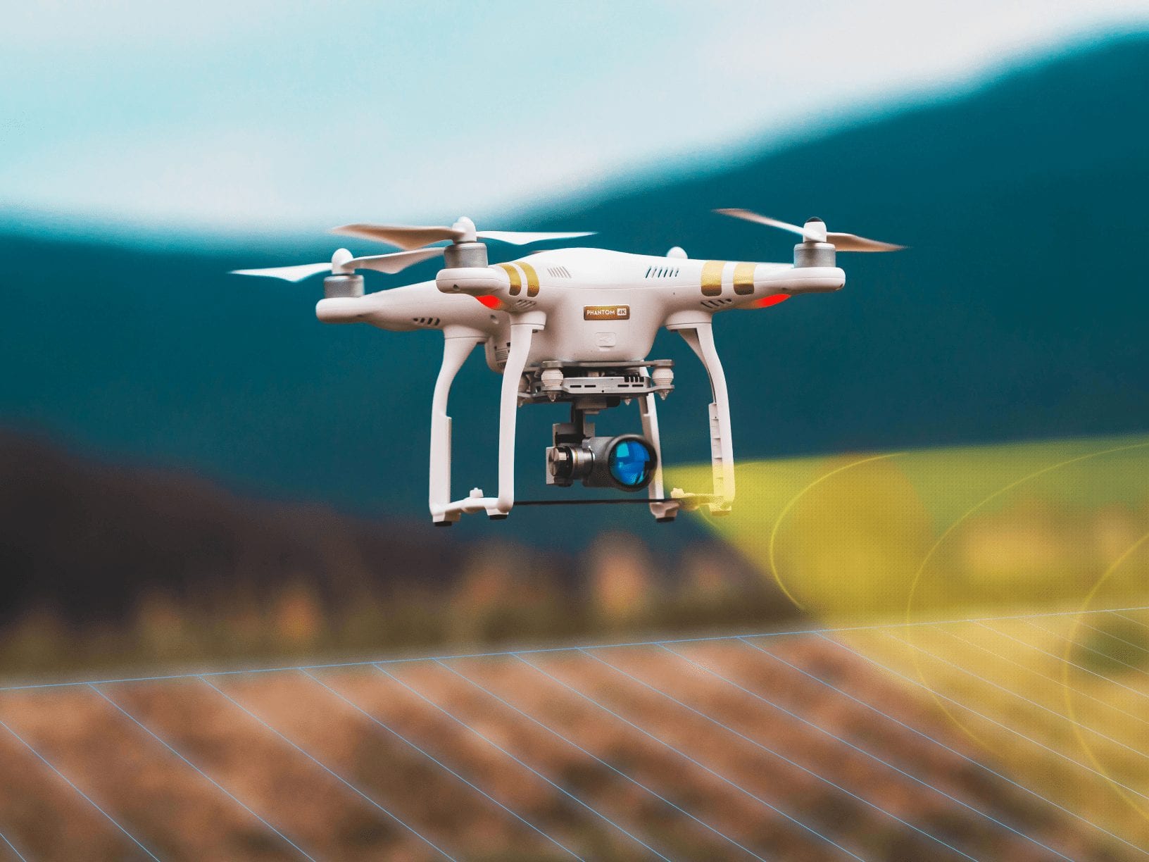
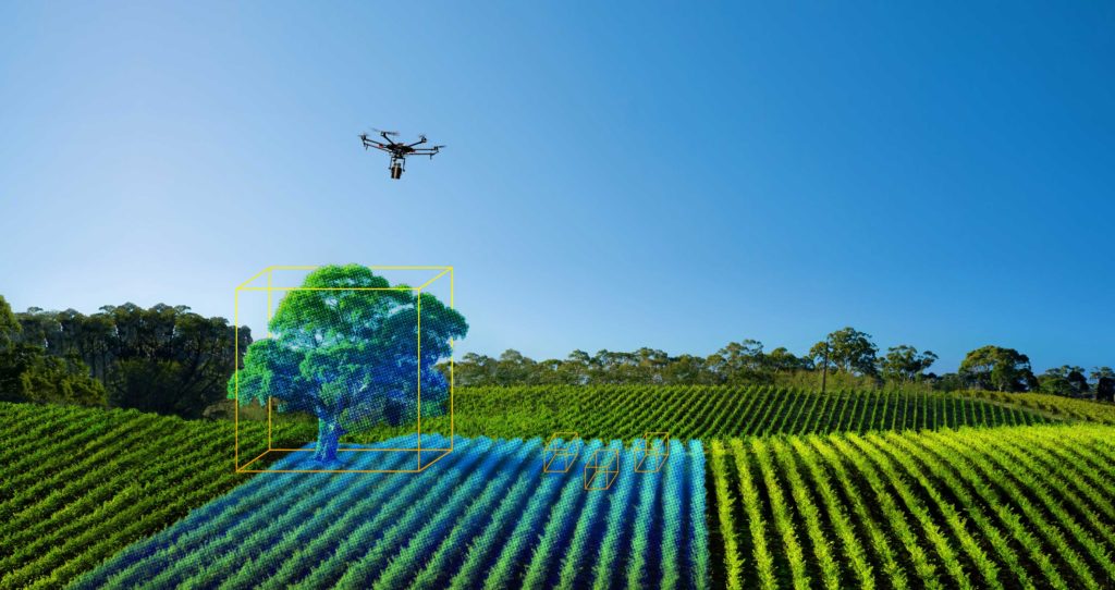
LiDAR technology is instrumental in developing 3D models of natural and manmade structures. These 3D maps can be generated by attaching LiDARs to drones or UAVs (Unmanned Aerial Vehicle). Simiarly, accurate maps of the agricultural areas and the natural resources using geospatial measurement data from LiDAR can help the farmers produce incredibly accurate maps of the natural resources.
For example, 3D LiDAR maps can help locate all the trees in an orchard and show the water flow direction at the base of each tree. It can also help determine the exact terrain of the farm, better identify the water catchment areas, and the flow of erosion.
Farms are not uniform and there is always some natural variability in soil, moisture levels, and microclimate due to landscape features. LiDAR can be used to observe, measure, and map out the variations in slope, aspect, and elevation. The 3D maps of the farmland can also include the shape of the farmland, which can help farmers analyze the suitability of land for a particular crop and the best time to plant. This could also be used to identify potential agricultural production zones in an area where production is likely to be higher than the rest of the land.
LiDAR technology in agriculture can also be vital in determining the soil type of a particular area. The data collected has the ability to generate the exact soil type and the soil content. Experts can then use this data to advise farmers on the best possible farming practice.
Erosion by water can be dramatic during storm events, resulting in wash-outs and gullies or it be clandestine and occur as sheet and rill erosion during heavy rains. Water erosion can cause immediate loss of topsoil and seeds and lead to a long-term loss of productivity and higher production costs. LiDAR technology in agriculture can be instrumental in preventing soil erosion through the 3D mapping and modelling of a given farmland. By getting the exact terrain of the farm and knowing its contours, farmers can come up with preventive measures to reduce or eliminate soil erosion and create a risk maps along with holistic drainage management plan.
This analysis can also be extended to general field management services, which may include determining the amount of water required to irrigate or how many times in a year a crop should be planted on given farmland.
LiDAR in agriculture for smart crop management
Traditionally, maps of cultivated fields are generated via manual digitization of the fields through satellite or aerial imagery. These images are then assigned crop type labels – often using the data collected during manual ground surveys. However, this method is time-consuming, expensive, and prone to human error. Automated remote sensing methods, such as using airborne LiDARs, are cost-effective alternatives. The data collected using LiDAR can be combined with machine learning algorithms for automating the crop classification.
LiDAR can also be used to estimate the crop quality and measuring against the standards to carry out crop analysis and determine the suitability of the crop to thrive in a particular area. This in turn can be useful in determining the overall crop yield in a given season and help farmers predict the crop yield and implement measures to increase the overall yield.
Determining damage to crops in case of a natural catastrophe is always a painstakingly difficult challenge. LiDAR technology in agriculture can be used to determine the extent to which crops have been damaged and help farmers to devise a recovery strategy.
Why choose LiDAR over other sensing technologies?
The laser-based LiDAR sensors have a clear advantage over other sensors: dust, darkness and fog do not impair their performance. A camera, for example, is not able to provide information in darkness or fog – a LiDAR, on the other hand, can detect its surroundings even under these conditions. Especially on fields where dust can be stirred up quickly and visibility conditions can be problematic, reliable environment detection is important.
The precision is another advantage that LiDAR sensors have over other methods of environmental detection. Since laser technology is able to reproduce the environment digitally in 3D data, livestock, for example, can be reliably detected and classified. The information from the LiDAR sensor is so accurate that it is possible to differentiate between stock of different sizes, e.g. a cow and a sheep. In addition, the same mechanisms can be used here as in security applications: If the animals exceed the grazing limits, an alarm is triggered, so the farmers know that their herds are safe, even at night.
Introduction of new sensor technology in agriculture, such as LiDAR, can significantly increase yields and help farmers use land more efficiently. The use of these technologies represents an important step in preparing the industry for the future.