People flow detection in shared spaces

Virginia Tech: Understanding how a space becomes a “place” with LiDAR technology

概要

Individuals spend over 80% of their time living and working indoors. As a result, buildings are increasingly designed to foster things like community, collaboration or creativity. But do these designs actually provide the desired outcomes?

A team of researchers at Virginia Tech has initiated a research project to answer this question. To understand how a building becomes a place that promotes community, they record and analyze movement data in a communal space with 11 Blickfeld LiDAR sensors.

課題

Virginia Tech’s new Creativity and Innovation District (CID) is a hub of interdisciplinary living and learning including both residential and academic spaces. To better understand how students use spaces within the building and to learn if the interior design does, in fact, support the values of community, creativity, and innovation Faculty Principal Dr. Tim Baird, Associate Professor of Geography Tom Pingel, and other colleagues are integrating social data collection efforts, like interviews and surveys, with spatial data from an extensive system of sensors mounted in shared, public space. This approach helps them identify patterns of movement within the CID building, and the social meaning behind them.

When considering what sensors to use, the most important factor was ensuring that students feel safe, comfortable, and anonymous in the building. Therefore, the team looked for a technology that would collect data on movement while maintaining individuals’ privacy.

ソリューション

After looking into different solutions, the choice fell on Blickfeld LiDAR sensors for several reasons: The three-dimensional character of LiDAR data allows the tracking of movement but no identification of individuals, thus ensuring the anonymity of students using the space. The sensors’ unobtrusive size and silent data collection also prevent students from being disturbed by the technology as, ideally, they may not even notice the sensors. An added benefit was the front-facing field-of-view of the Blickfeld sensors. Placing the sensors in the corners of the room would mean that a 360 degree view would produce a lot of data that could not be used.

Eleven sensors were mounted to cover the whole communal space and their visual data, the so-called point clouds, were fused into a large 3D image of the area. In a next step, the research team used perception software to track objects to highlight movement paths or create heatmaps out of the accumulated data. Heatmaps show which spots are highly frequented or highlight walking paths throughout the space. For example, in the recordings it is clearly visible that many students cut through the seating areas and walk between chairs to get from one end of the space to the other rather than using the hallways. This shows possible improvements in interior design to make the space easier usable.

Heatmap of the walking paths
Heatmap of the walking paths in the community space, blue/green paths are used most
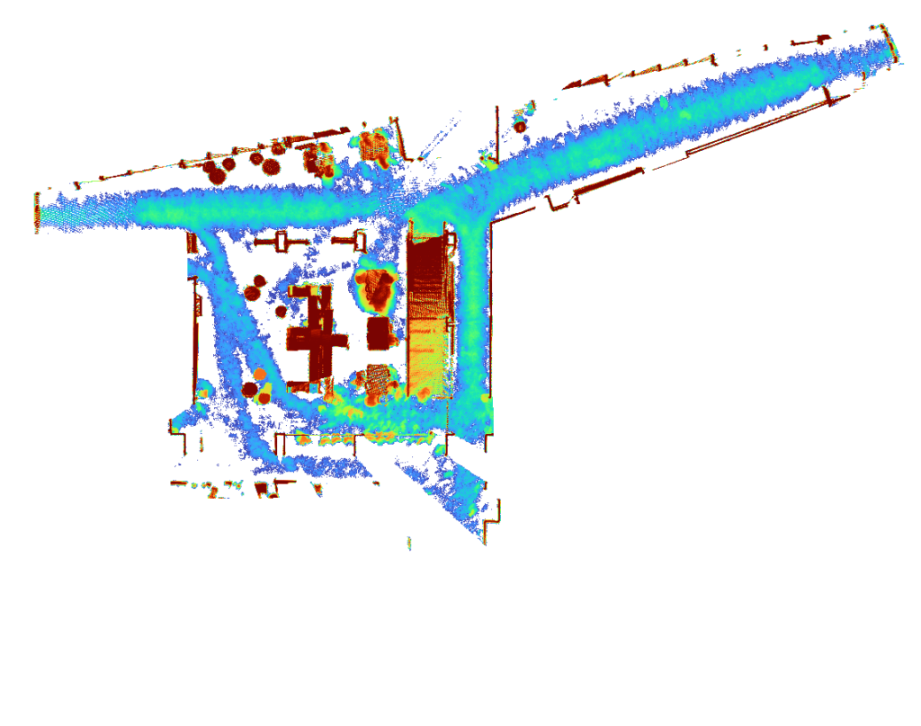
LiDAR data enable us to examine human movement, use of space, and social interactions throughout the day. These data can be extremely valuable for interior designing and administering interior, communal spaces. It is also exciting to use LiDAR sensors in this context.
Dr. Tim Baird
Associate Professor at College of Natural Resources and Environment’s (CNRE), Department of Geography, Viriginia Tech

展望

The research project is planned to run for three years, in which the LiDAR data will be enriched by further data collection methods from several disciplines like interviews and surveys among the students. The next step of analyzing LiDAR data will include people counting.

ケーススタディーを共有

Facebook
Twitter
LinkedIn
XING
WhatsApp
Email

お問い合わせ

アプリケーションのご相談はこちら